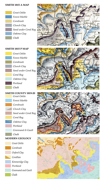
Figure 2.
Maps of the area around the city of Oxford showing the evolution of William Smith’s geological mapping and a comparison with the present day geological interpretation simplified from work by the British Geological Survey. (Extracts of William Smith county maps and the William Smith A map are published by kind permission of the Geological Society of London and the P map by kind permission of the Manuscripts and Special Collections, The University of Nottingham.)